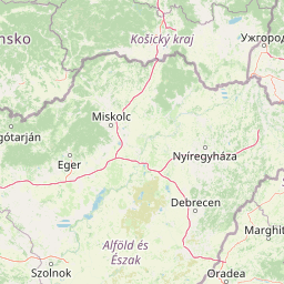
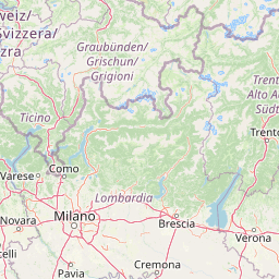
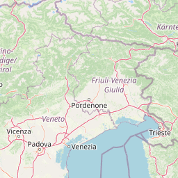
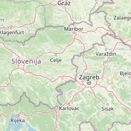
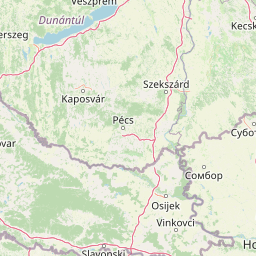
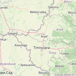
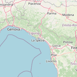
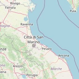
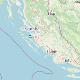
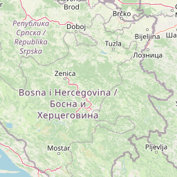
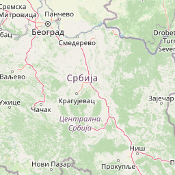
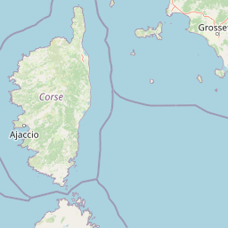
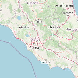
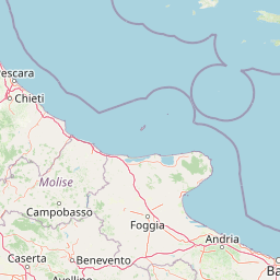
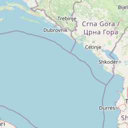
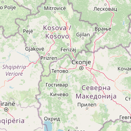
Istria to Dalmatia — Velebit traverse, Croatia
Croatia·1184 km·~21 hrs·+21,510 m
intermediate
Off-road49%
ST
Siegert Thijsen★4.8(24)
Buy, sell, and share GPX tracks and roadbooks from creators around the world. Every trail high quality, well documented, and AI-verified.
Three problems that keep adventure riders from finding routes worth their time.
Sixty million routes on Wikiloc. The same trail uploaded twenty times under different names. Most have zero engagement, no quality check, and no moto-specific structure. Riders spend hours wading through duplicates to find one good route — and rarely find one without issues.
Overgrown passages. Legal issues. Trails no longer passable. Outdated GPX from years ago. You ride out, lose hours, then have to turn back — and the day is gone before it began. You cannot ride uninterrupted, and you cannot fully trust the route.
Experienced riders keep their best tracks private — sharing means giving them away for free. No platform pays them for expertise, so the great multi-day routes never get documented.
Every route page is built around one question: would you actually want to ride this? We surface what matters before you pay, what to expect on the ground, and what other riders found when they got there.
Croatia — a 1184 km adventure route uploaded by a TrailStack creator.


Distance, duration, elevation, off-road percentage, landmark count, average rating — every stat a rider needs to decide if the route fits, before paying.
The actual GPX rendered on real cartography. Villages, viewpoints, mountain passes, and rider highlights labelled along the route, not buried in a description.
Steep rocky climb at km 38. Closed gate at km 134. Riders who've done the route recently flag changes in real time — colour-coded by hazard, surface, blockage, or seasonal closure.
A clear 0–100 score from the access screening engine, with segment-by-segment findings. Visible before you buy.
Stage-by-stage breakdowns. Fuel range and overnight recommendations. Daily elevation profiles. Everything a long ride needs — not a 1,000 km blob you have to carve up yourself.
Every route ships in the format that suits how you ride — raw GPX for your device, a printable PDF roadbook, or a TerraPirata file for compatible navigators. One purchase, every format included.
Practising our hobby is already hard enough — and it gets harder every time someone rides where they shouldn't. The places we love stay open as long as we treat them with care. Eight principles riders on TrailStack stand by:
Before any route is published, our AI cross-references the GPX track against OpenStreetMap access tags, the World Database of Protected Areas, and regional regulation databases. Every segment gets a status — clear, review, or issue.
We're launching where the active adventure community is — and where our founding creators ride. Coverage expands with the catalogue.
Upload your GPX tracks, PDF roadbooks, or TerrapiRata files. Set your price. Earn 80% on every direct sale. Paid monthly.
Estimates only. Actual earnings depend on catalogue quality and demand. Paid on the 1st of each month.
Four commitments behind every route on the platform — to riders, to creators, and to the places we ride.
Every route on TrailStack is made by someone who actually rides the terrain — not generated by an algorithm. Curated, reviewed, and built to be ridden.
Practising our hobby is already hard enough. We encourage every rider to follow the values we share — Leave No Trace, respect access, ride considerately. Riders can take the public Rider Pledge on their profile.
Every route is screened against OSM access data and protected area databases before it goes live. A useful first filter — riders always verify local rules before they go.
80% on every direct sale. No exclusivity, no lock-in, paid monthly. The years of riding that go into a great route deserve to be rewarded.
We're seeding the catalogue with founding creators and inviting riders in waves. Join the waitlist to be among the first when the gates open — and to help shape what TrailStack becomes.